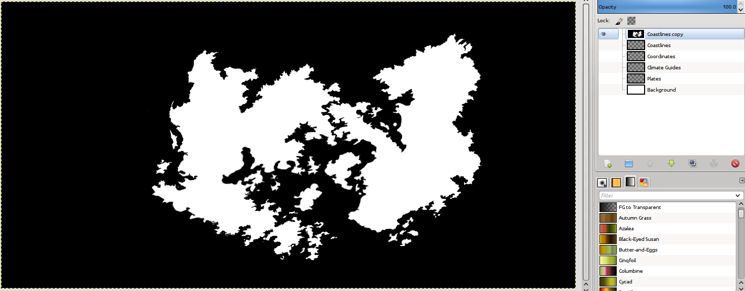
Creating the Land and Sea Masks
Before we modify anything let's create a backup of our Coastlines layer by duplicating it and naming the copy "Map Outline." Then toggle the visibility of the Coastlines layer so that it is not seen.
Layers (Coastlines) > Duplicate Layer (Name "Map Outline")
Layers (Coastlines) > Hide
 On the "Map Outline" layer we are going to fill the land in with white and the seas in with black. Ensure that the "Map Outline" layer is active and take your bucket fill tool and fill in the land and seas.
Bucket Fill (Black) > Click on the area outside of the land
Bucket Fill (White) > Click on the land
Ensure that you have clean black and white boundaries before moving on (i.e. the land and sea should be flat white and black around the borders, no grey or shading.) Now, let's create the masks. On the "Map Outline" layer, select the Select by Color tool (Threshold 0) and click on the land (white) area.
Layer (Map Outline) > Select by Color (Threshold 0) > Click on Land
Now go to the Select menu tab and click on Save to Channel; name this channel “Land Mask”.
Select > Save to Channel (Name Land Mask)
We are going to repeat this process for the sea. On the "Map Outline" layer, select the Select by Color tool (Threshold 0) and click on the sea (black) area.
Layer (Map Outline) > Select by Color (Threshold 0) > Click on the Sea
Now go to the Select menu tab and click on Save to Channel; name this channel “Sea Mask”.
Select > Save to Channel (Name Sea Mask)
That is for today, next time we'll continue with beginning to create the Height Map.
No comments:
Post a Comment